Year 9

Year 9 - Google Earth Projects

The students in Year 9 have been investigating the growth of tourism and how it has led to increased interconnections between places. For our final project, the students were asked to devise a route between Southampton, UK, and Cape Town, South Africa in the Year 1937. They had a number of considerations to think about when they were devising their routes from not being able to fly at night, only being able to go a maximum of 1200km before refueling, the politics of the time and importantly they had to land on water. The students worked hard to not only create a route but also calculate the maths and justify their choices. Please click on the links to visit the students’ projects.

Student One - Southampton to Cape Town

Student Two - Southampton to Cape Town

Student Three - Southampton to Cape Town

Student Four - Southampton to Cape Town
Student Five - Southampton to Cape Town
Student Six - Southampton to Cape Town
Year 9 - Worst Hazards?

The Year 9s have been investigating different types of human-induced and natural hazards in their first rotation of Individuals and Societies. The topic has fostered a lot of discussion and the students were asked to decide in their opinion what disaster could potentially be seen as the ‘worst’. To formalise this the students wrote a short persuasive piece to outline their key arguments and illustrate their thoughts by using key events. Examples of student work are below:

Year 9 - Innovation of Technology

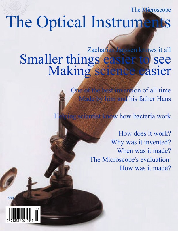
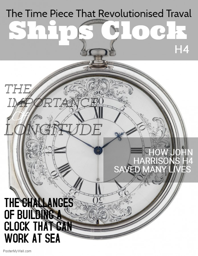
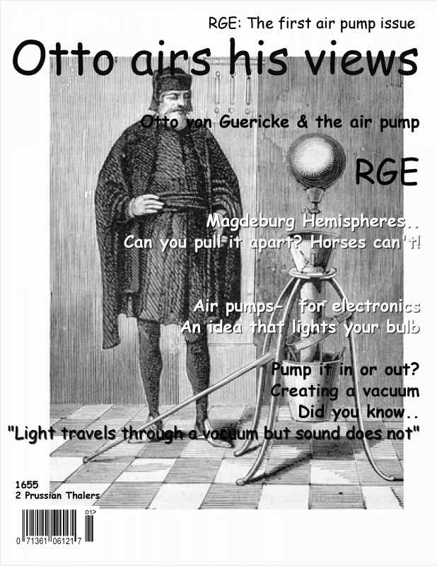
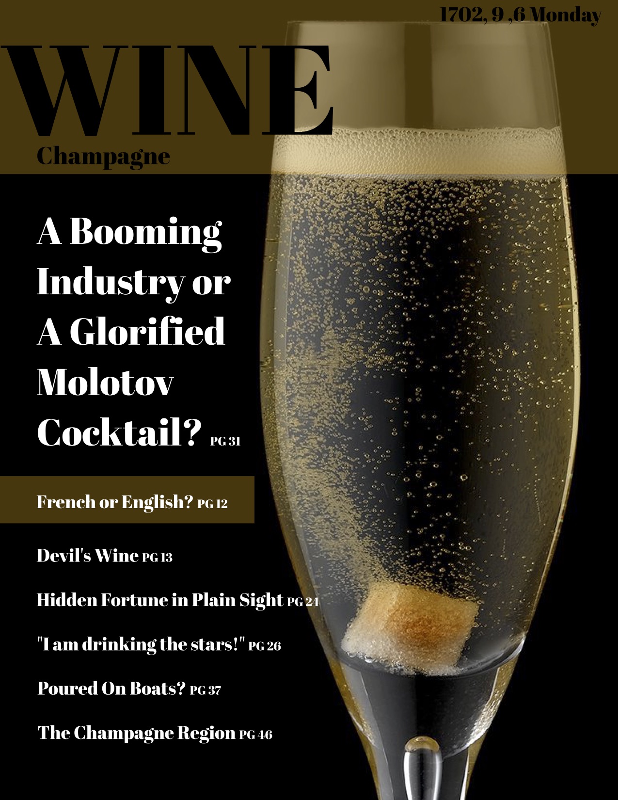
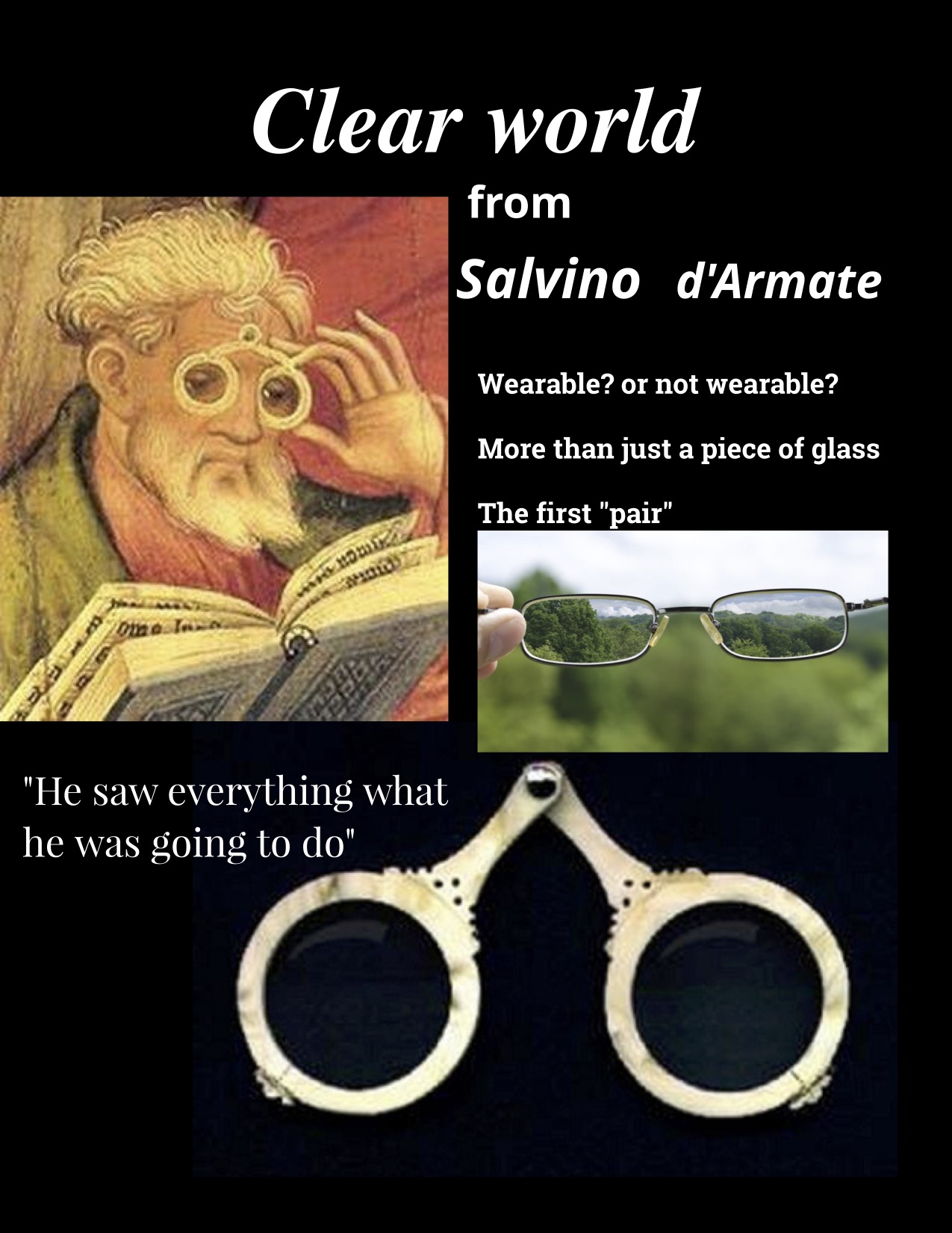
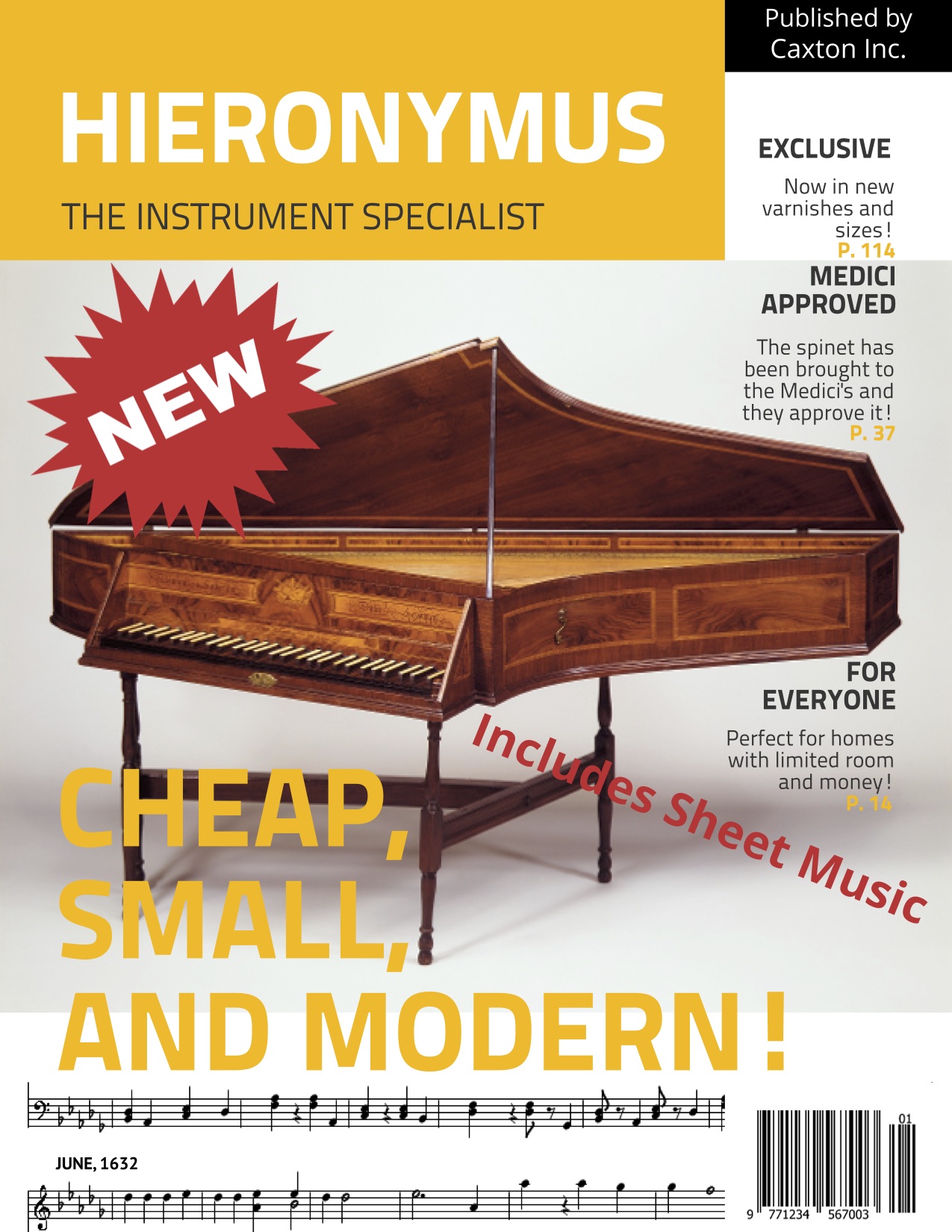
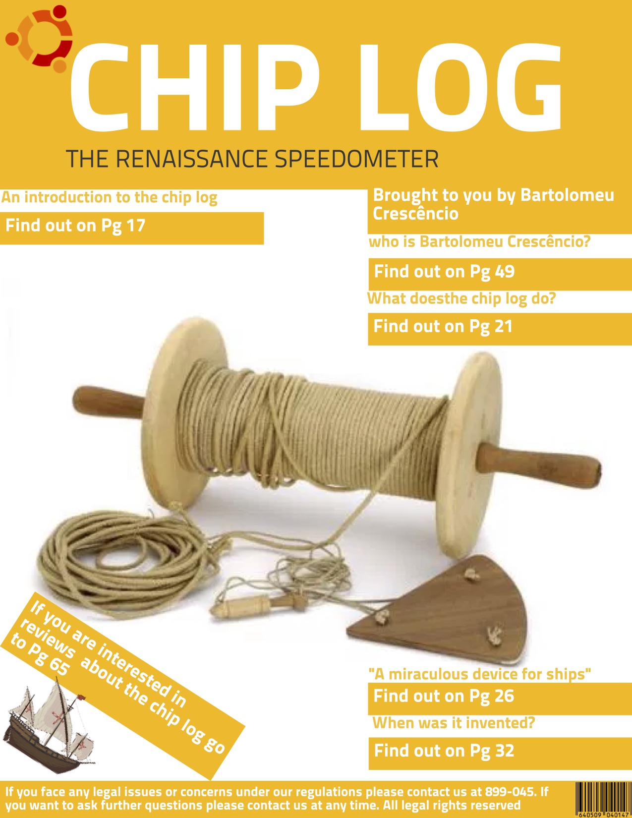
Class 9o  have just completed two interrelated units of inquiry on "RENAISSANCE, REFORM AND REINVENTION" and "THE AGE OF GLOBAL ENCOUNTERS".

The students learned about a period of human history lasting over 300 years (c. 1450-1750), a changing world which emerged with advances in anatomy and other scientific disciplines, the breaking of 'rules' and customs to further knowledge of ourselves, our planet Earth and our solar system; the development of mathematics and astronomy, the rediscovery of the knowledge and learning of ancient Greece and Rome and the roots of modern banking and capitalism. The period also saw the 'discovery of a New World' which opened up a highway of trade and exchange across the Atlantic Ocean which was to cause far-reaching demographic and economic change through resource acquisition and trade in goods and human beings (human trafficking - known as the Slave Trade). The impacts of these changes reverberated through the African continent and the Middle East as human beings across time and place became more interconnected than ever before - a forerunner to the modern notion of globalisation.

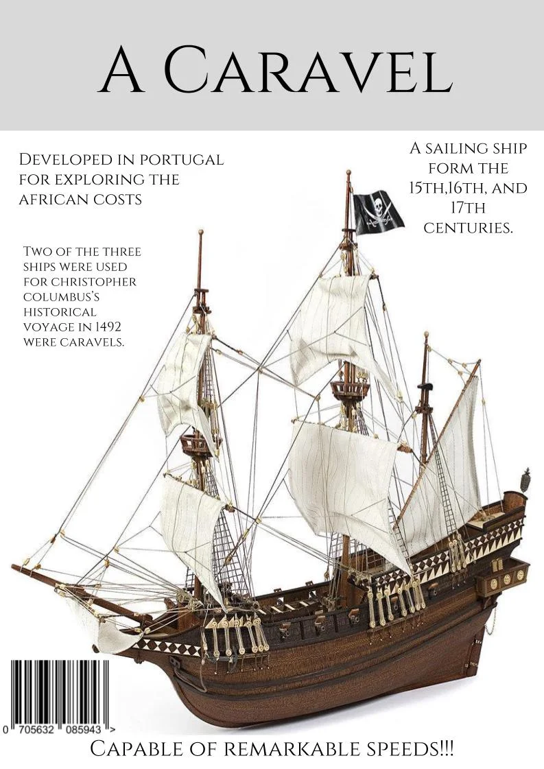
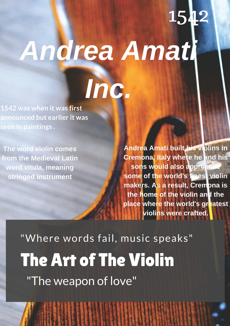
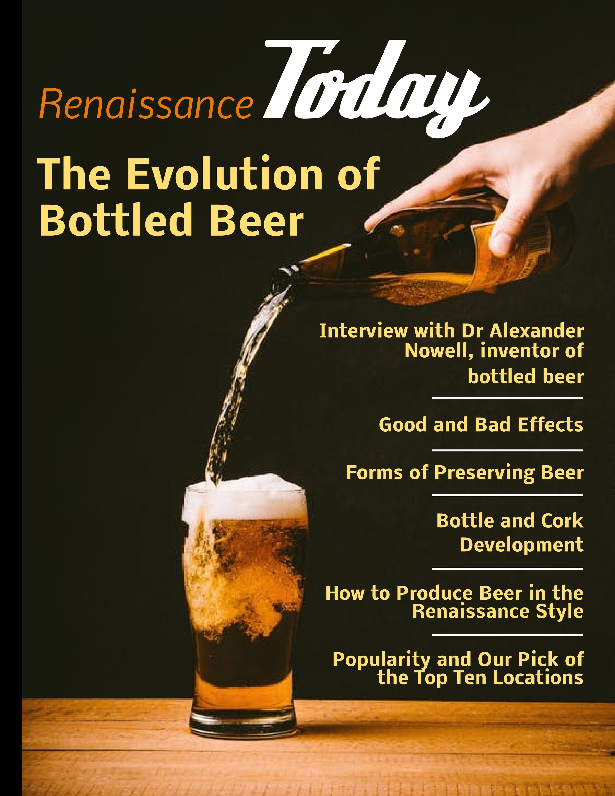
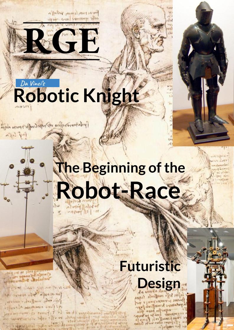
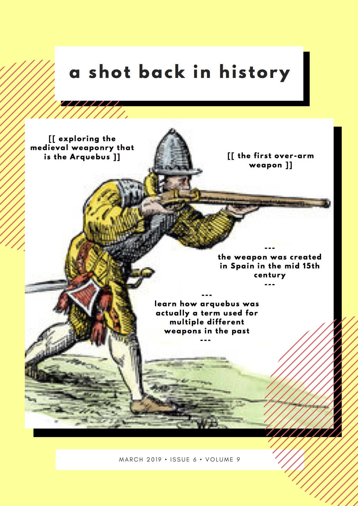
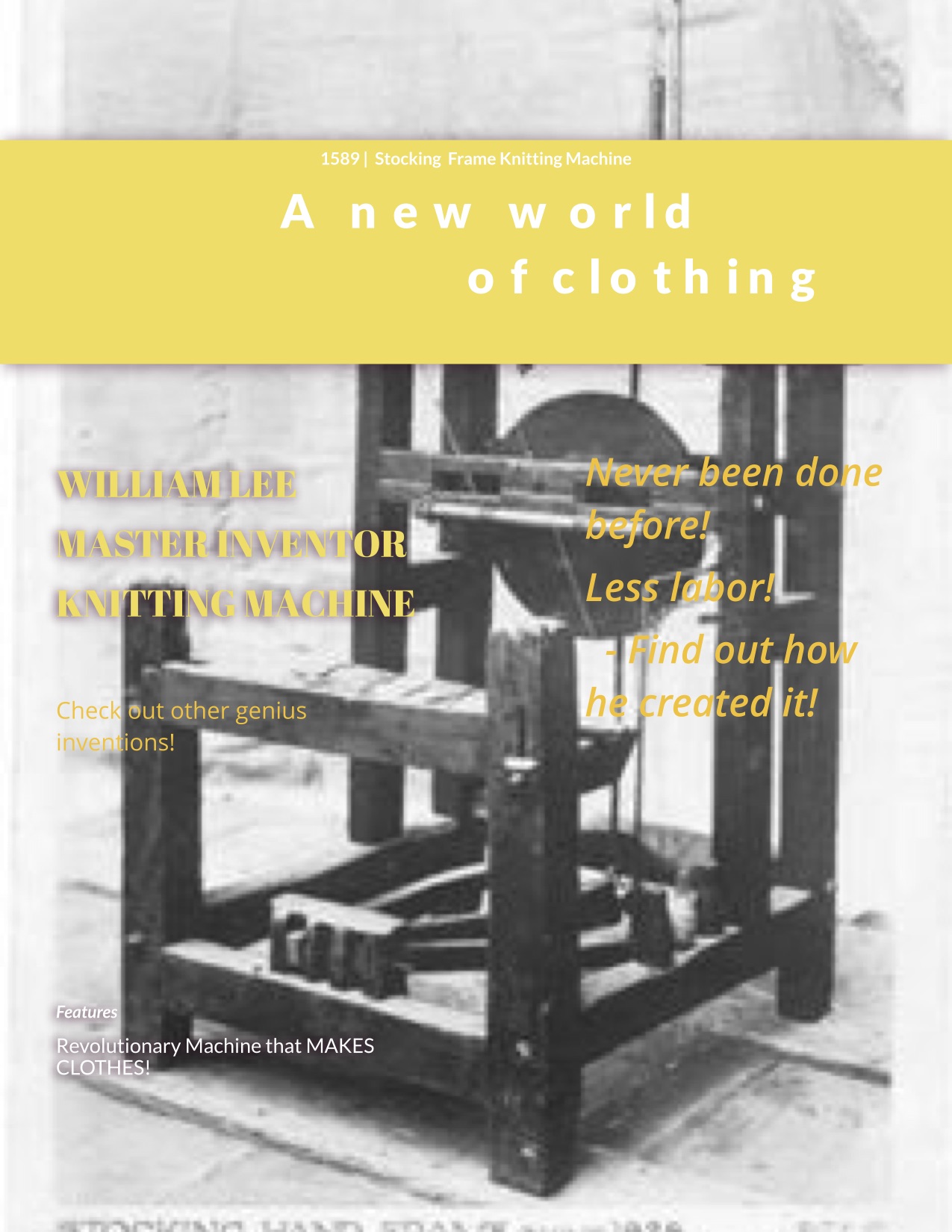
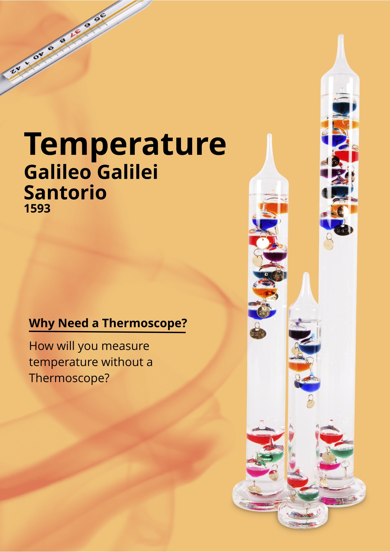
At the end of these two units of inquiry the students were required to research into a technical advancement that was part of, and had an impact on, this changing world. 

The resulting assessment was to come up with a design for a magazine cover for our RGE magazine. A magazine cover which has an authentic ring to it and provides an accurate snap-shot of the research behind it.

Year 9 - Revolutions

In the Industrial Revolution unit, the students created a collaborative powerpoint to help discover which inventor was the most important to the Industrial Revolution. Each student studied a different inventor and displayed the information that would help others decide if the inventor was more important than others. Using the presentation, students had to persuade the class to choose their inventor over others and eventually we decided that George Stephenson, the inventor of the railroad, was the most important to the revolution!

Year 9 - Cromford Meadows

9o have been investigating the impact that the Industrial Revolution had on the textile industry and how this in turn created hubs of development. To do this the students studied Arkwright to learn how he could manipulate water sources to power his factory. The students explored Arkwright's factories by using 360 degree photographs. Below is a series of photographs showing the students using the virtual reality googles.

Year 9 - Southampton to Cape Town
The final rotation group in Year 9 have been designing a route from Southampton to Cape Town. While the task sounds simple there are a few parameters to design within and to make the task challenging. The Year is 1937 and the students could only land in allied nations. They were using a flying boat and therefore they had land their planes on water. The students were also given a maximum distance before they had to refuel and they could only fly in daylight hours. The students recorded their route using the online mapping tool ArcGIS and then recorded their reasoning why they chose to stop in certain places as a story map journal. Examples can be found below:

Eric

Camille

Farah